Viewing roadworks information via Google Glass imagery.
Omega Tech Ltd undertook a prototype application [ while taking part in the HitLab Google Glass class ] linking Google Glass technology with road work information road works (TMP) data. The Google Glass application uses the wearer's location and bearing information to show relevant road works close by. To obtain the roadwork information the glass queries back to a sever with the location information and receives back a list of relevant road works presenting this data to the users field of view.
The road work information is presented in the field of view of the Glass for the person to read as they move around or move their head.
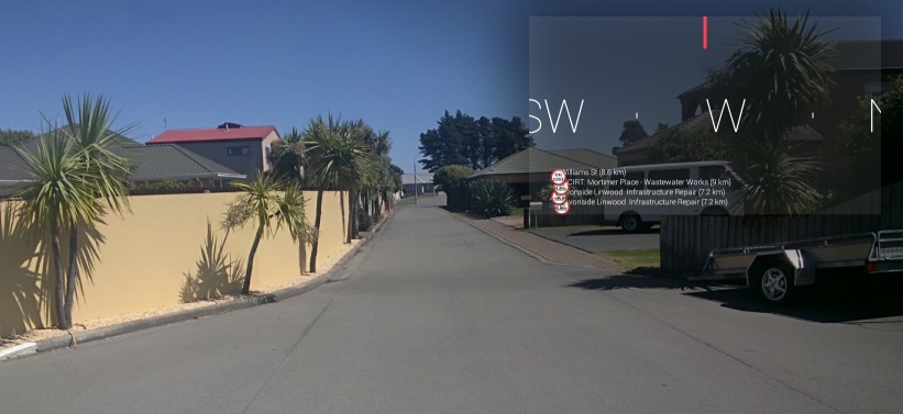
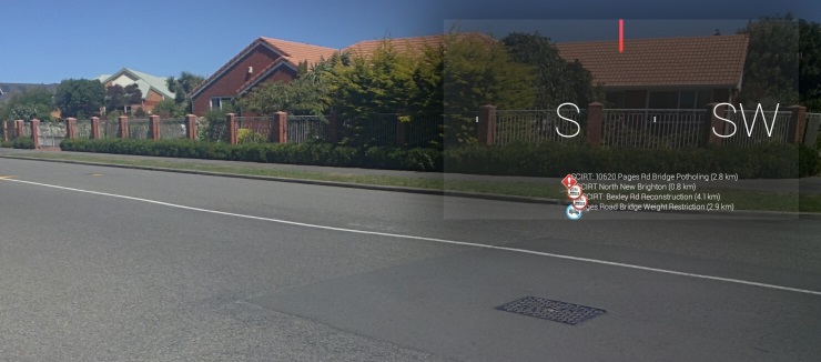
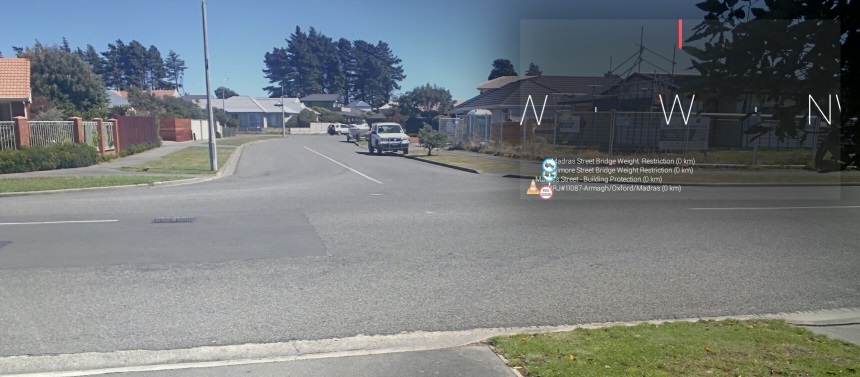
The pictures users see are shown below.
Using Google glasses to view the road works data :
Debugging Google Glass application using Eclipse:
Google Glass imagery can be seen on a PC during debug sessions:
The application operates by Glass making an internet query, passing location and compass bearing back to an OmegaTech server and, in return, getting a list of live road work information.
The road works are listed below the compass bearings and are viewed as the person navigates around the streets or moves her head to a different bearing.
The image below shows the view through the Glass:

View looking down the street to the south / south west:

View looking down street to the west:
